This post contains affiliate links to products and or services. I may receive a small commission for purchases made through these links, but with no additional costs to you.
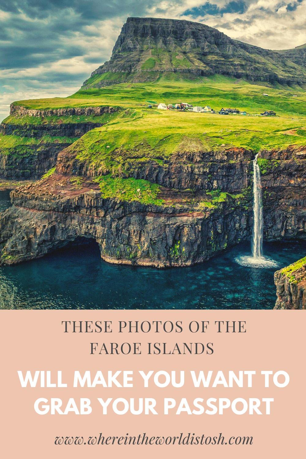
“Where are the Faroe Islands?” It’s a question I get asked a lot whenever I mention that I want to travel there one day. The Faroe Islands have been at the top of my travel bucket list for quite some time now. Even though the Faroe Islands are located not too far from mainland Europe, not too many people know where they are and they aren’t usually on a traveller’s radar when booking European vacations. This self-governing archipelago is located in the middle of the temper-mental North Atlantic sea and near the Norwegian Sea. It is situated northwest Scotland and in between Norway and Iceland, but are considered part of Denmark and are made up of 18 tiny, magical islands just waiting to be explored.
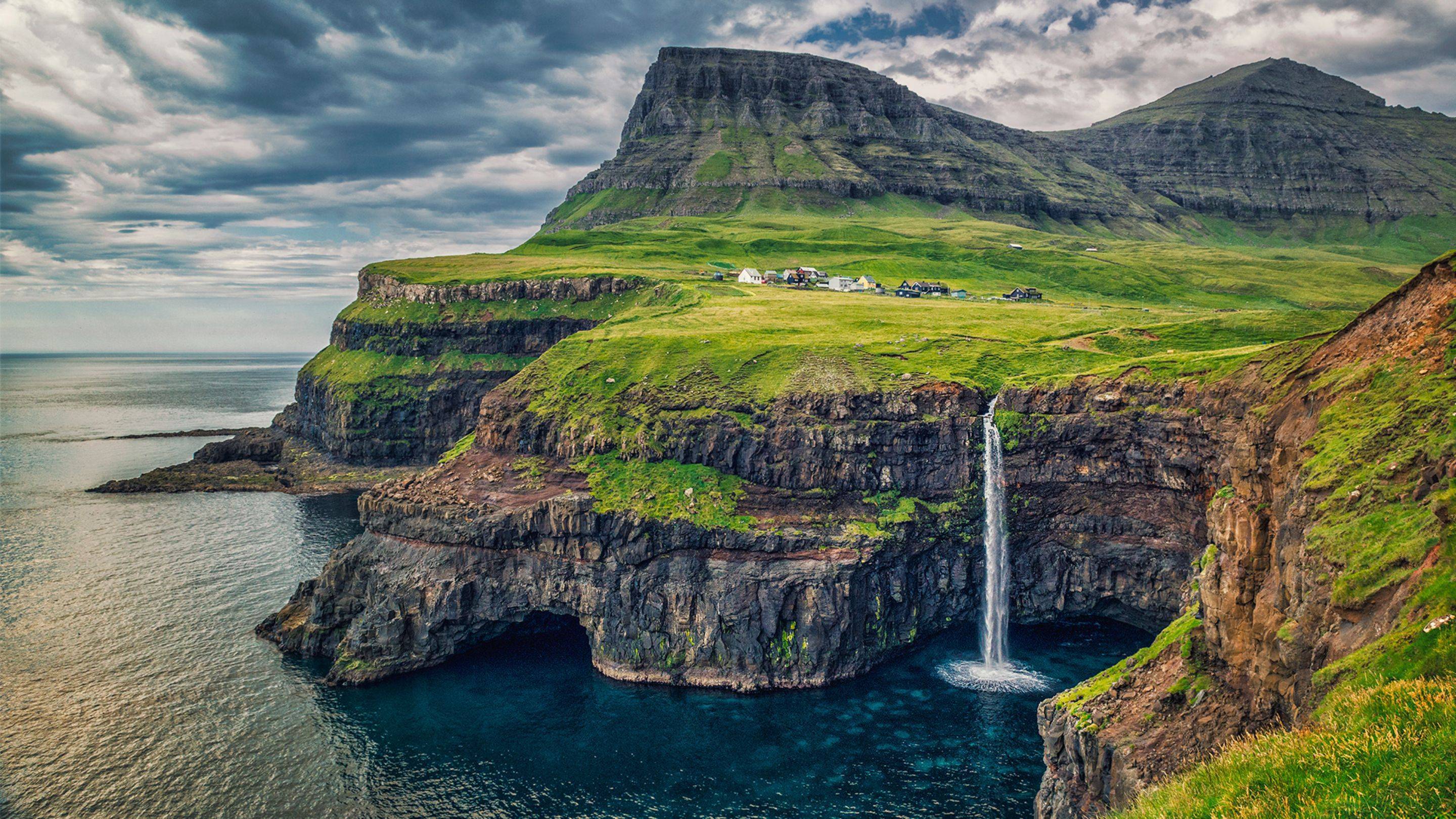 Photo Source
This place is a hiker’s dream come true. Around every corner, a new visual treat. Soaring fjords and mountains, winding roads, lush green valleys, tiny hamlets with multi-coloured houses and cliffs at dizzying heights. The Faroe Islands has it all. Since the size of the islands are so small, you don’t have to venture too far to be greeted with stunning views all around you.
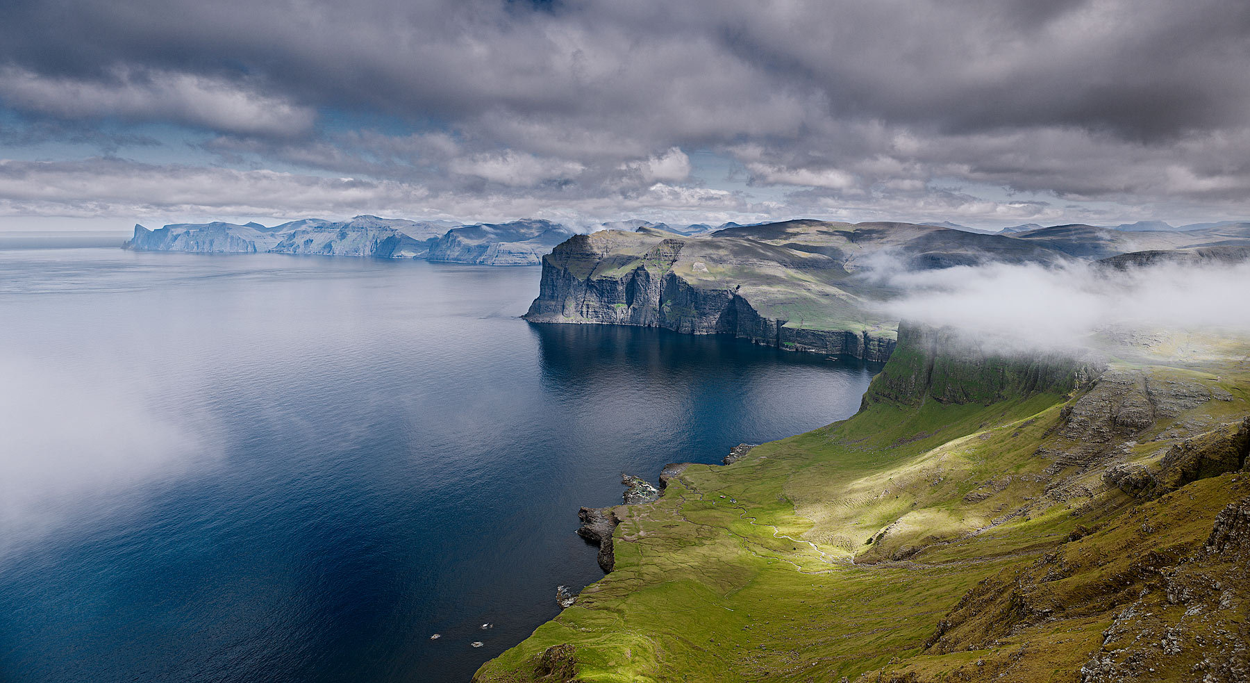 Photo source
Every way you turn, you will have stunning ocean views to look at.
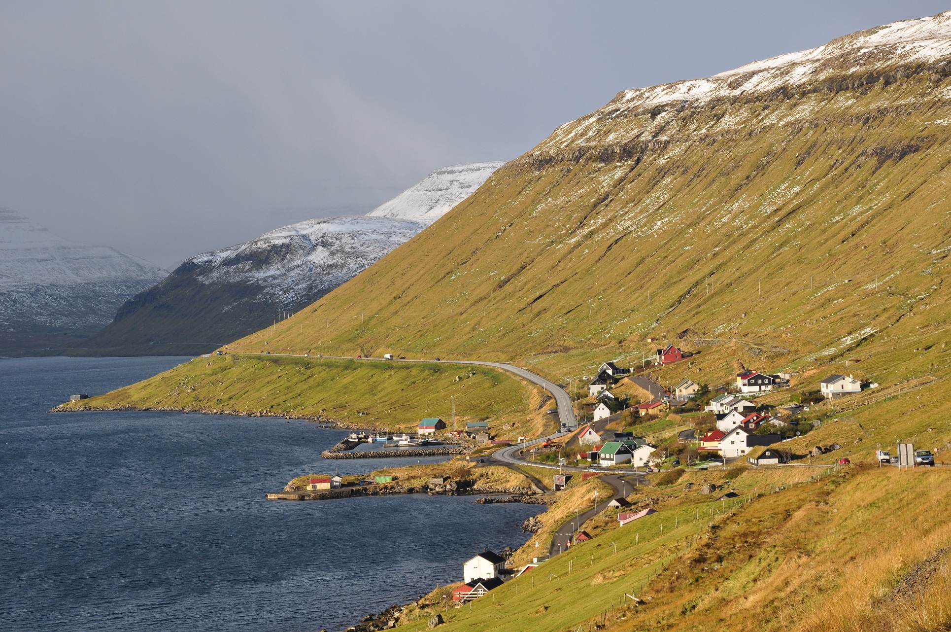 Photo source
The sheer size of the surrounding landscapes are definitely seen when looking at images of the tiny villages that are dwarfed by the huge mountains. The beautiful and dramatic vistas are what drew me into wanting to visit this magical land. I think that’s why I’ve been so drawn to explore places like this and travel to these undisturbed areas. You would literally feel as if you are on the edge of the earth.
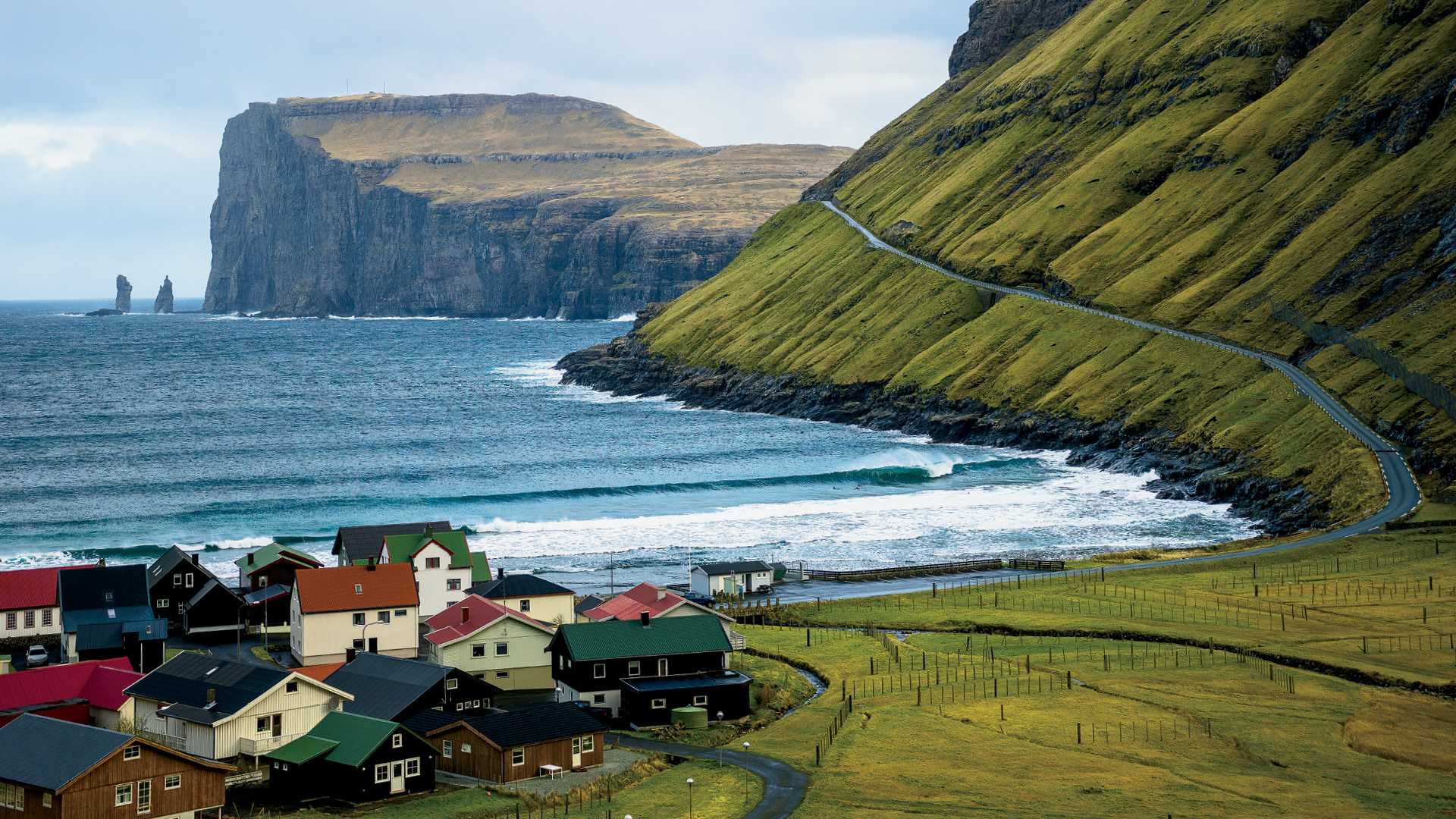 Photo source
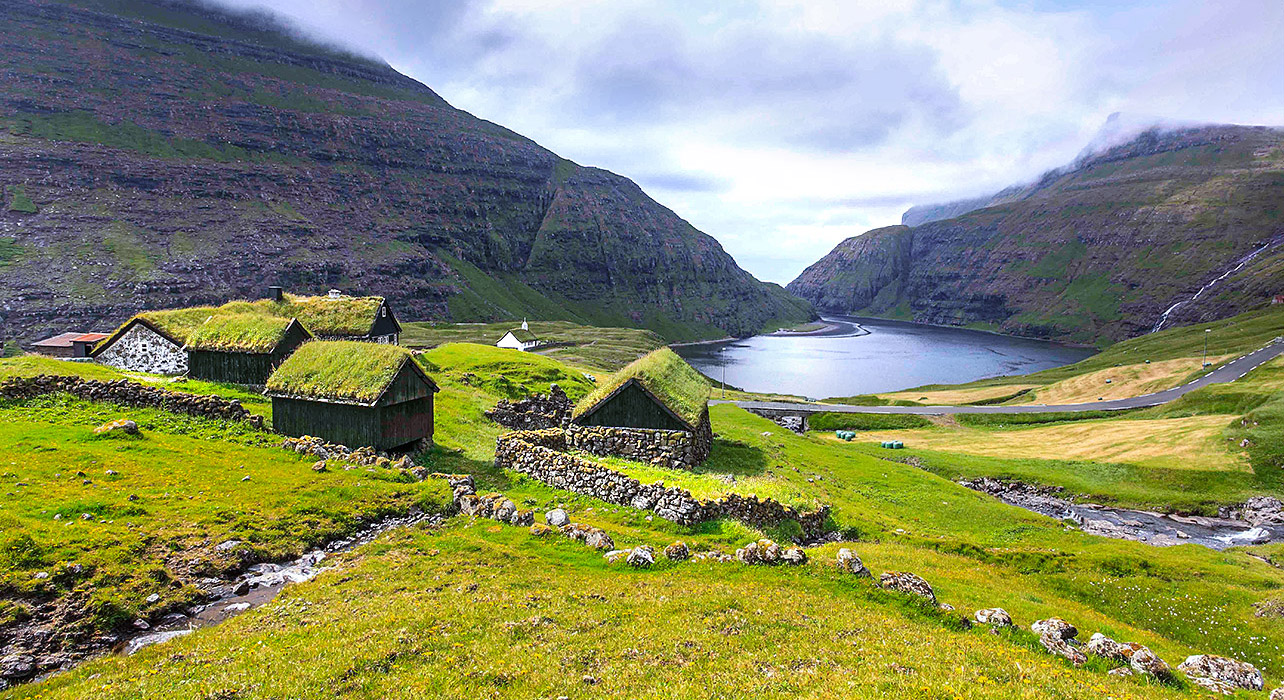 Photo source
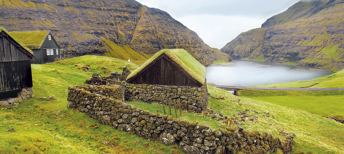
A lot of the sheds and sometimes even the houses, have a thick layer of lush green moss on the rooftops, making them look like something out of a fantasy movie set.
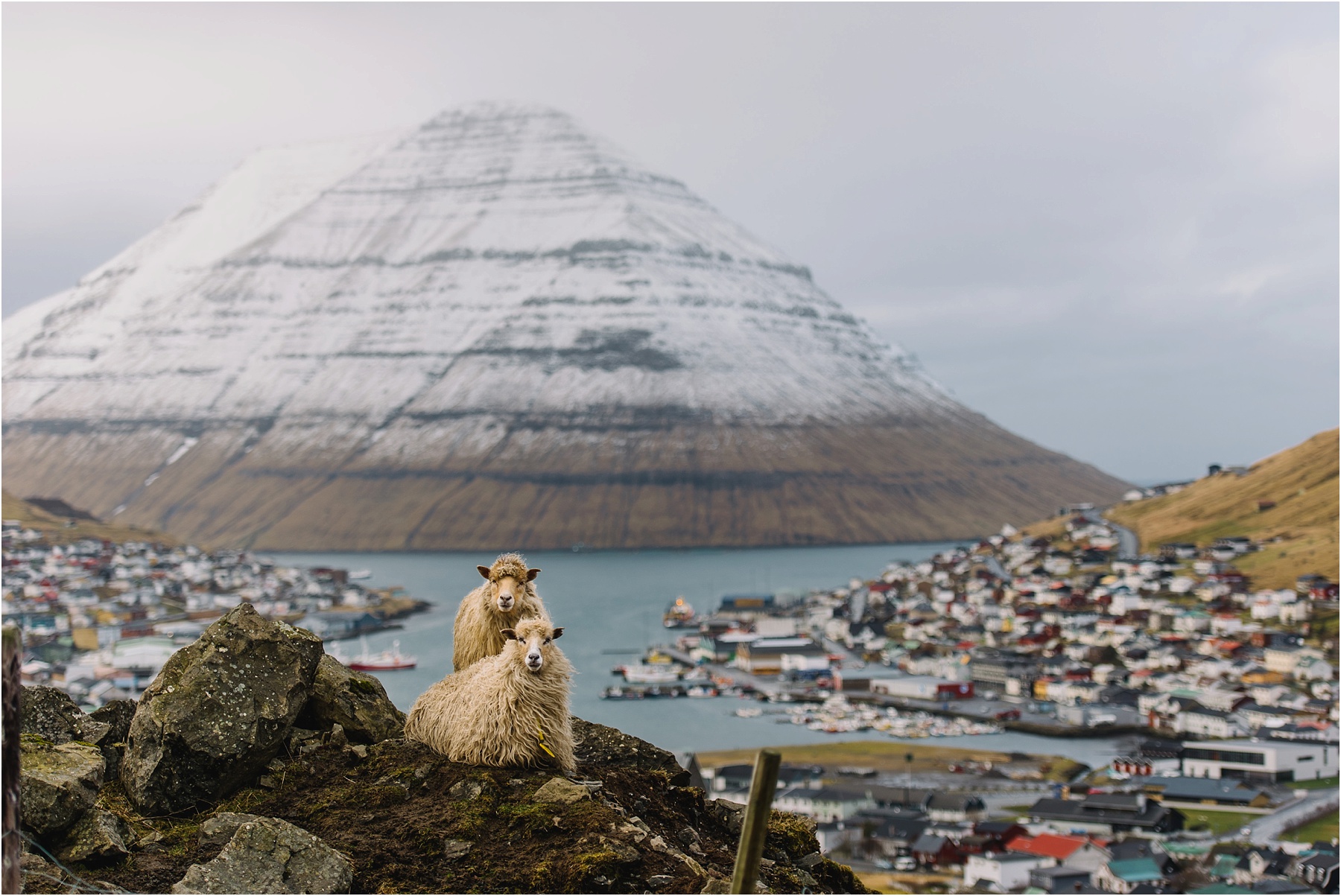 Photo source
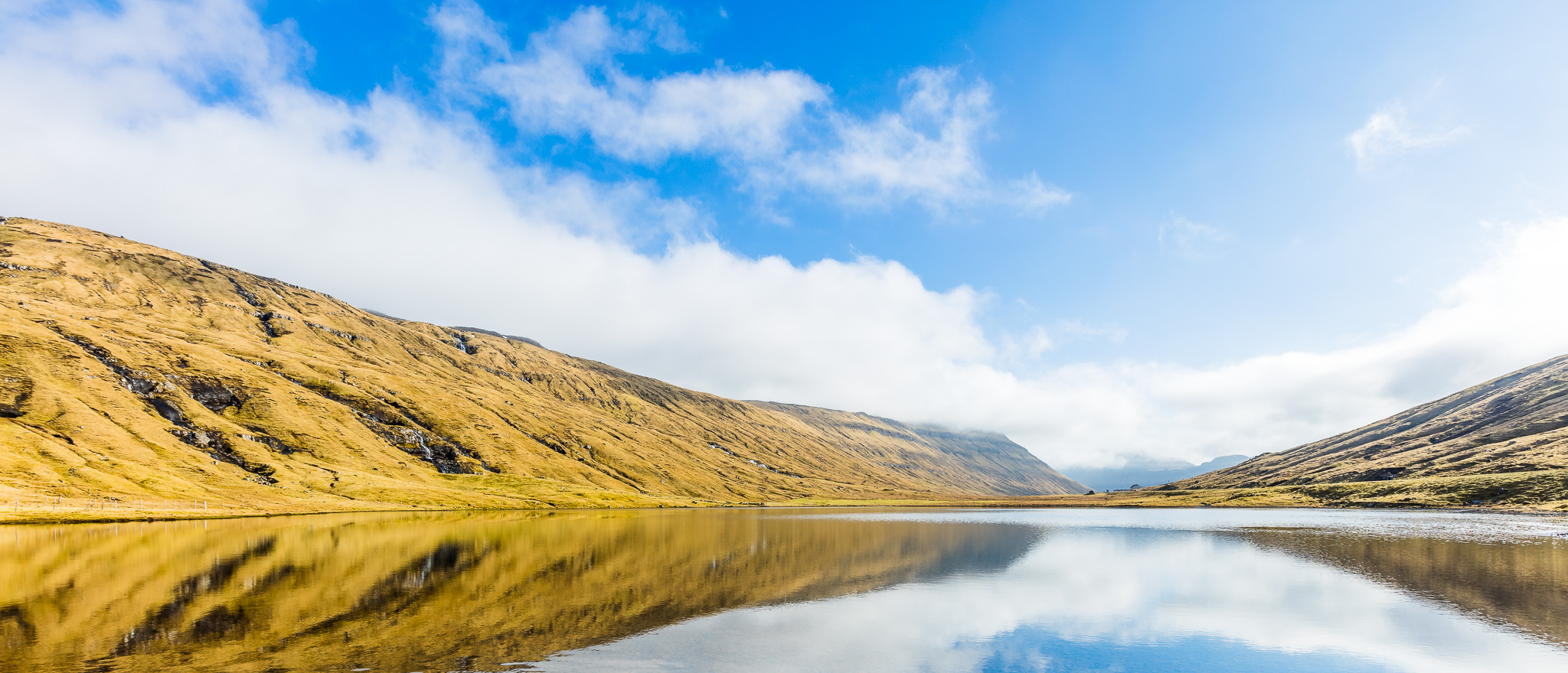 Photo source
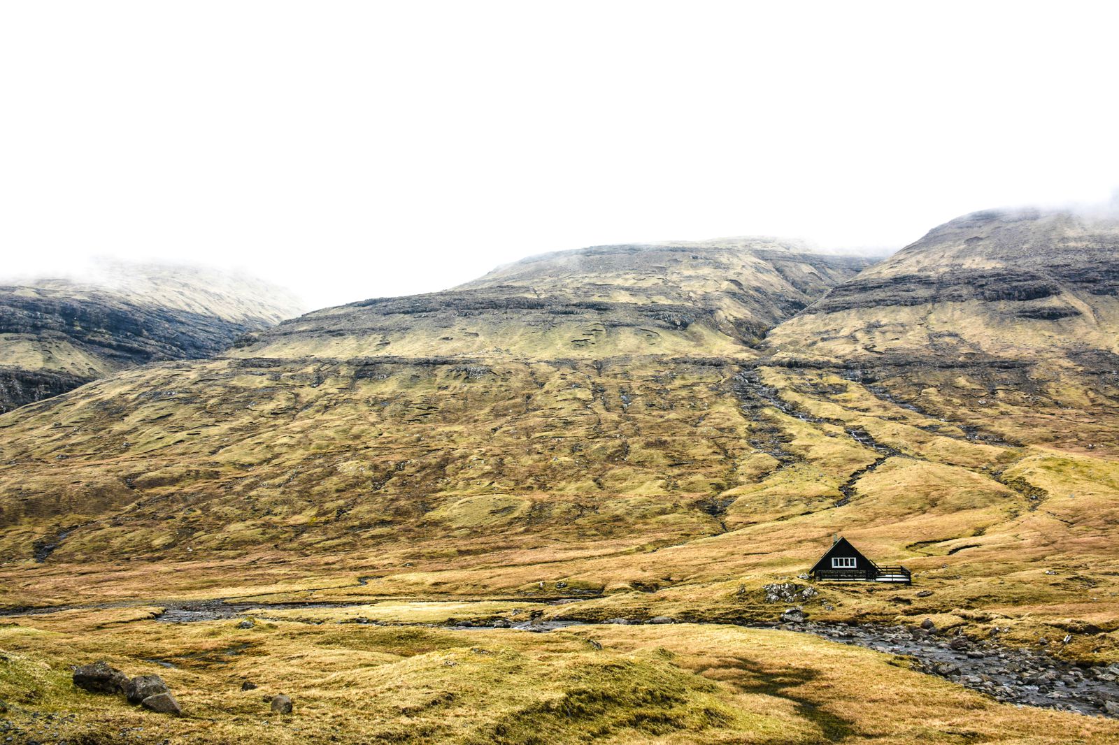 Photo source
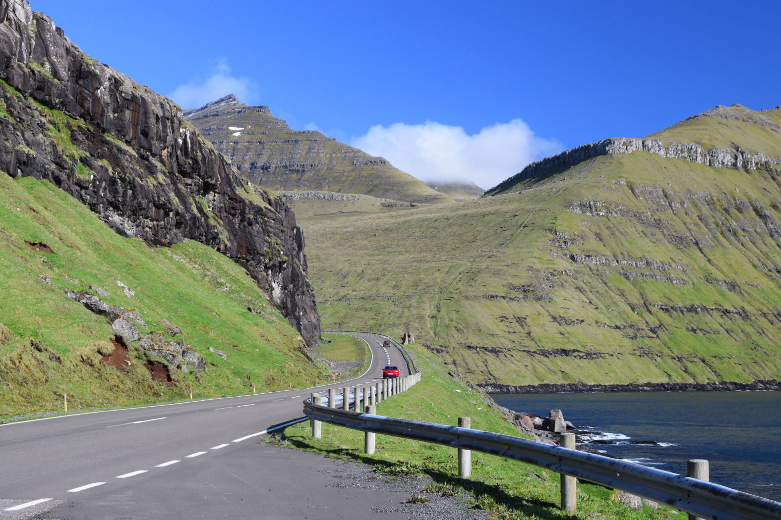 Photo source
The roads that hug the landscape of the Faroes is a motorcyclist’s dream come true. The curves grasp every curve of the mountain landscape and around every corner are stunning views. I’d definitely be tempted to rent a motorcycle there, even for a day or two.
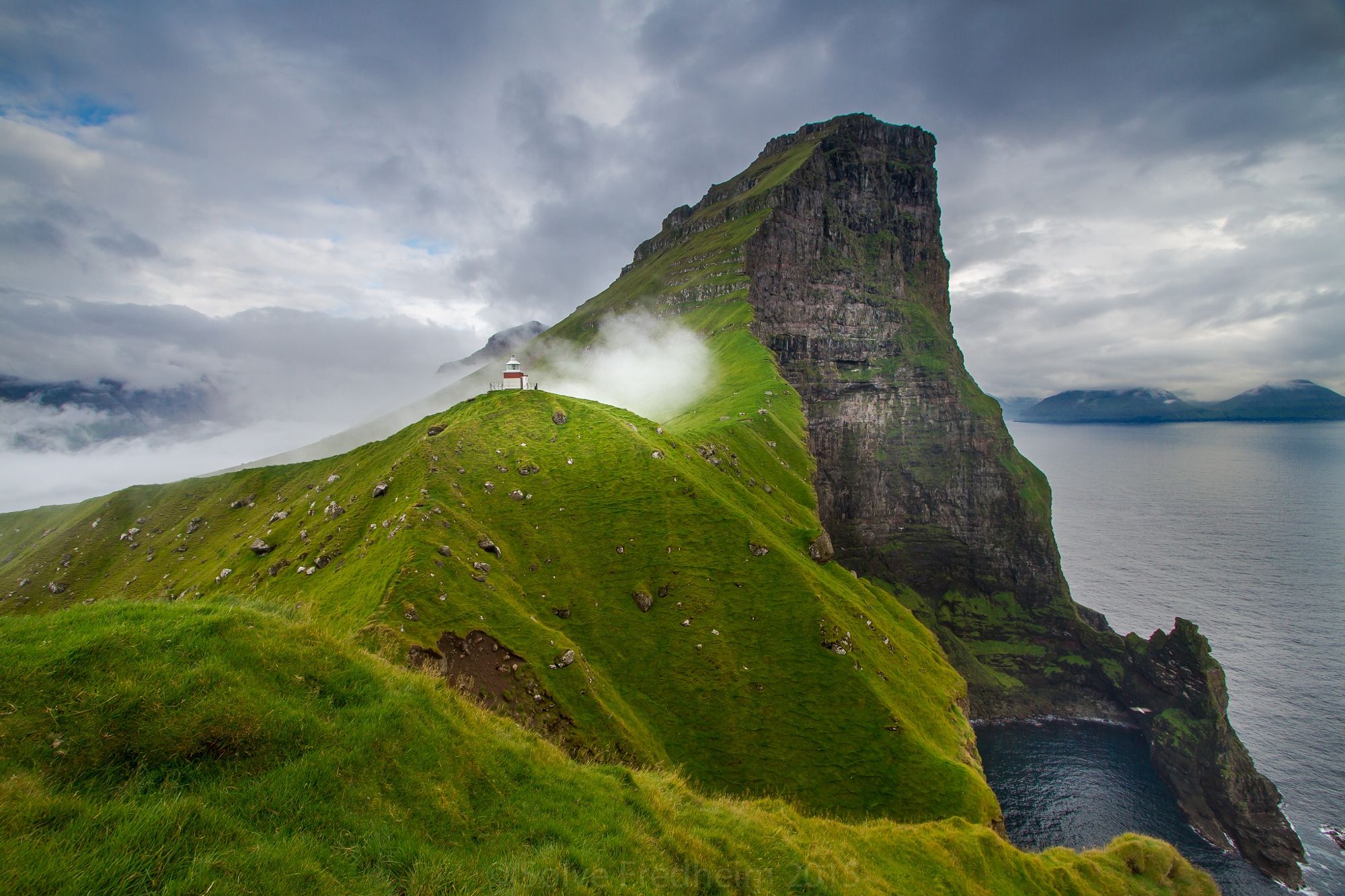 Photo source
The hike above is said to take approximately two hours back and forth from the little village Trollanes. The hike to the lighthouse is one of the Faroe’s top hikes. Hold on to you hat, though. Apparently the winds get pretty gusty up there.
 Photo source
 Photo source
Lake Sørvágsvatn (above) is the largest lake in the Faroes, and one of the sights many photographers and adventurists dream of seeing from visiting islands. The lake is located about 100 metres above the sea and looks like something out of a fairy tale.
 Photo source
After writing this post and looking through all the photos, it’s just reaffirmed my love of the Faroe Islands and the rugged landscapes that I adore so much. I definitely will make my way there one day, and when I do, I don’t think I’ll be disappointed one bit.
Cover photo source

I’ve heard so many amazing things about the Faroe Islands but still not been! And you’re totally right: these photos totally make me want to visit!
Hey, Sophie! Thanks for stopping by. I’ve been obsessing about heading there. Every time I see a photo of the Faroes, it just makes me want to go that much more. One day….hopefully soon! 🙂 xo