This post contains affiliate links to products and or services. I may receive a small commission for purchases made through these links, but with no additional costs to you.
“Look deep into nature, and then you will understand everything better.” – Albert Einstein
“Green is the prime colour of the world, and from that which its loveliness arises.” – Pedro Calderon de la Barca
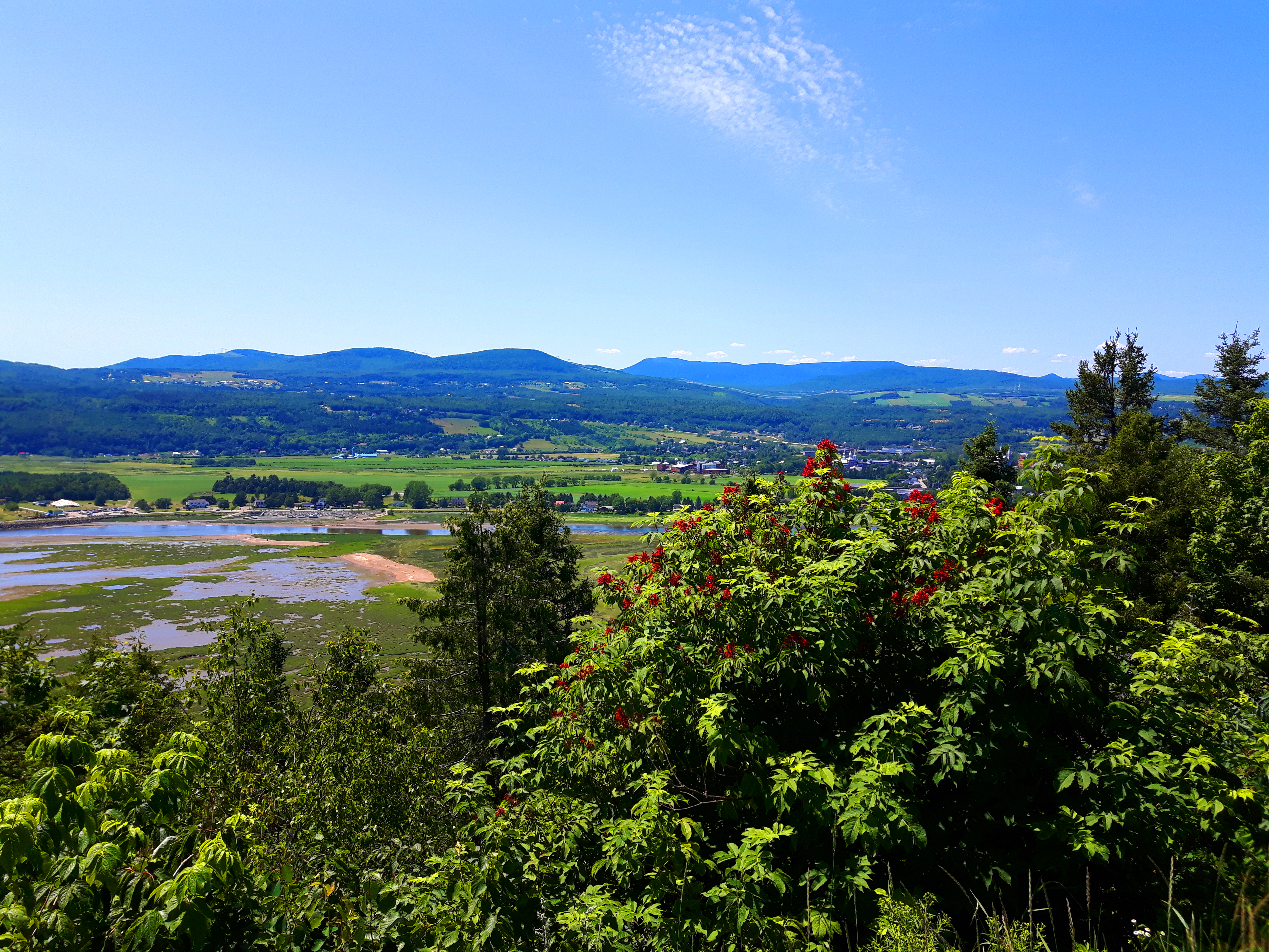
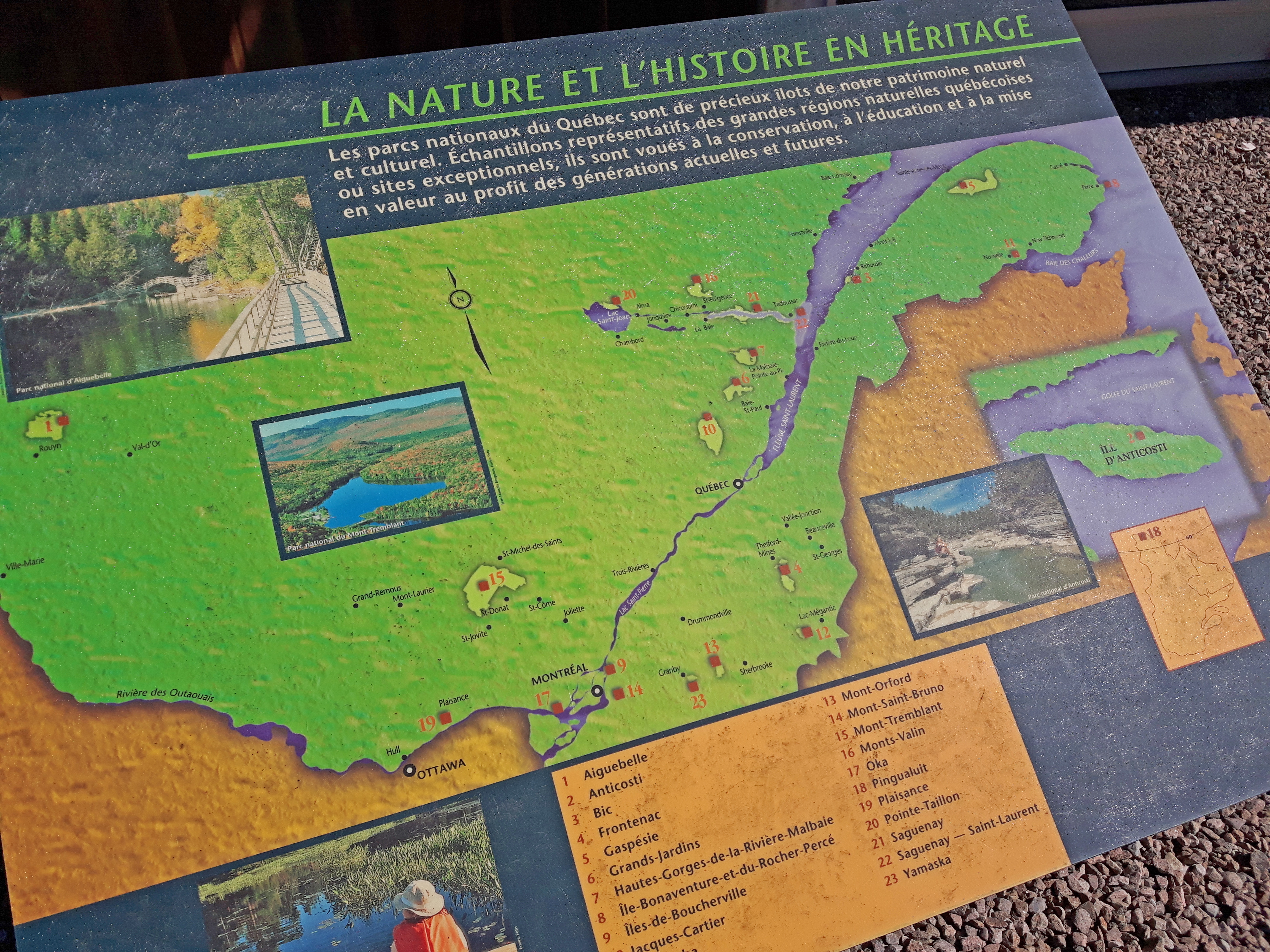
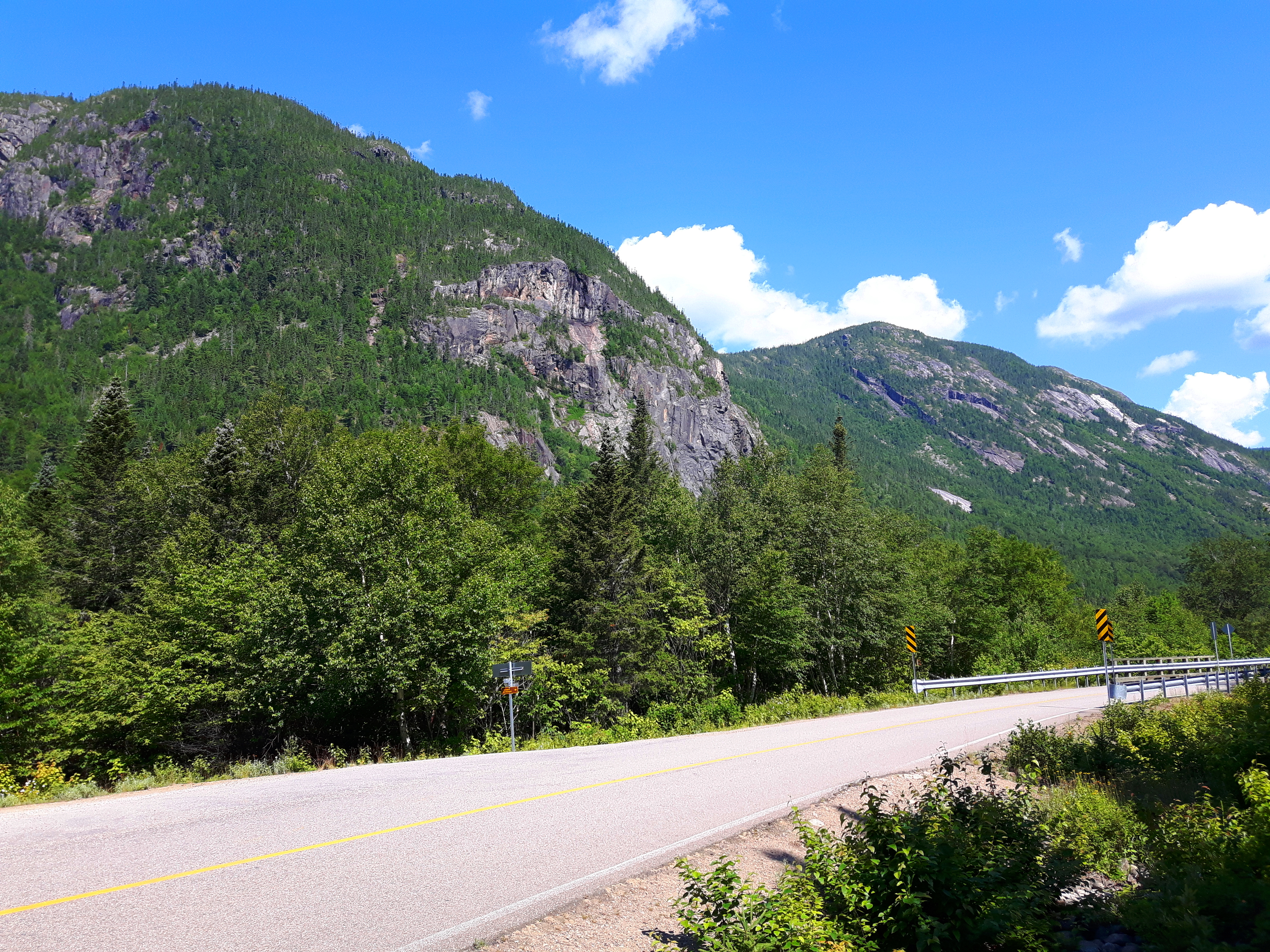
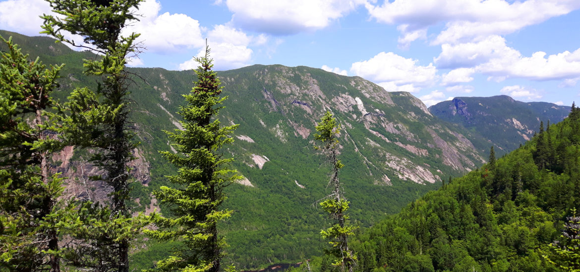
Last weekend, my sister and I decided to take a somewhat spontaneous road trip to the Charlevoix region of Quebec to hike the famous Acropole des Draveurs trail up the Montagne des Érables, or Maple Mountain as it’s translated to in English, which is situated within the Hautes-Gorges-de-la-Rivière-Malbaie National Park. This gorgeous park is part of the Laurentian Mountains and is centered around the Malbaie River Gorge, which boasts fjord like views that may have people easily mistaking the vistas for something that could be straight out of Norway. Montagne des Érables also holds the titles for the highest rock face, as well as the highest cliffs in Eastern Canada. With the lush green foliage and arctic fauna blanketing the area, the Hautes-Gorges-de-la-Rivière-Malbaie National Park is also considered part of the UNESCO Charlevoix Biosphere Reserve.
Getting There
There are many route options to take to Hautes-Gorges-de-la-Rivière-Malbaie National Park. We stuck to major highways and roadways for the drive and it took us just under 9.5 hours, and included stopping for gas, food, bathroom breaks and photos, of course. To see the route we took from home (highlighted in blue), click HERE. The beautiful scenic drive through Quebec blew our minds. It’s been awhile since I’ve been to the Province itself, and it was my first time ever driving alongside the picturesque coastal area and through the rolling hills. Whichever way you choose to get there, you won’t be disappointed. Just make sure to stay alert while driving, as this area is highly known for moose and deer.

Checking In And Exploring La Malbaie
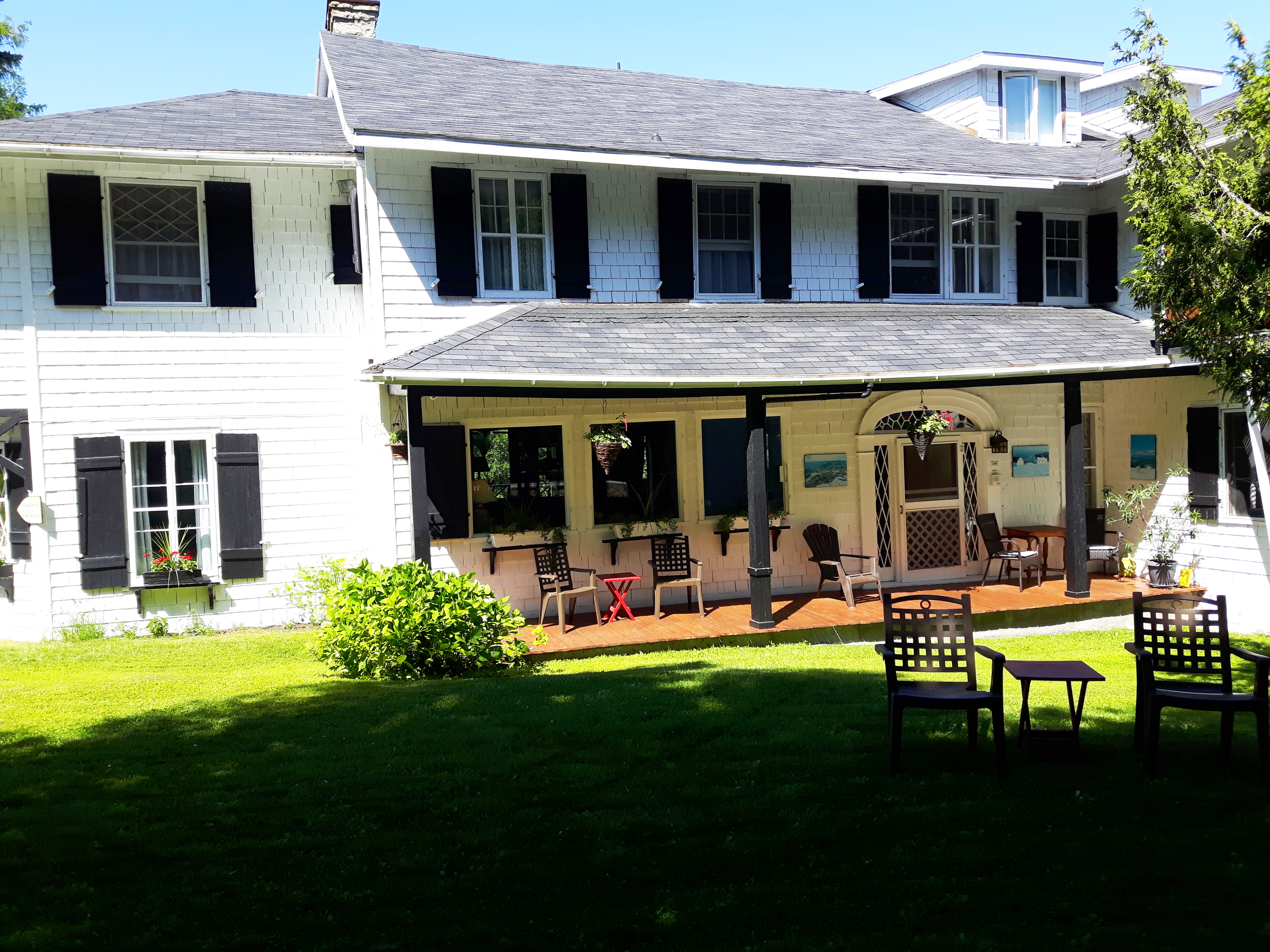
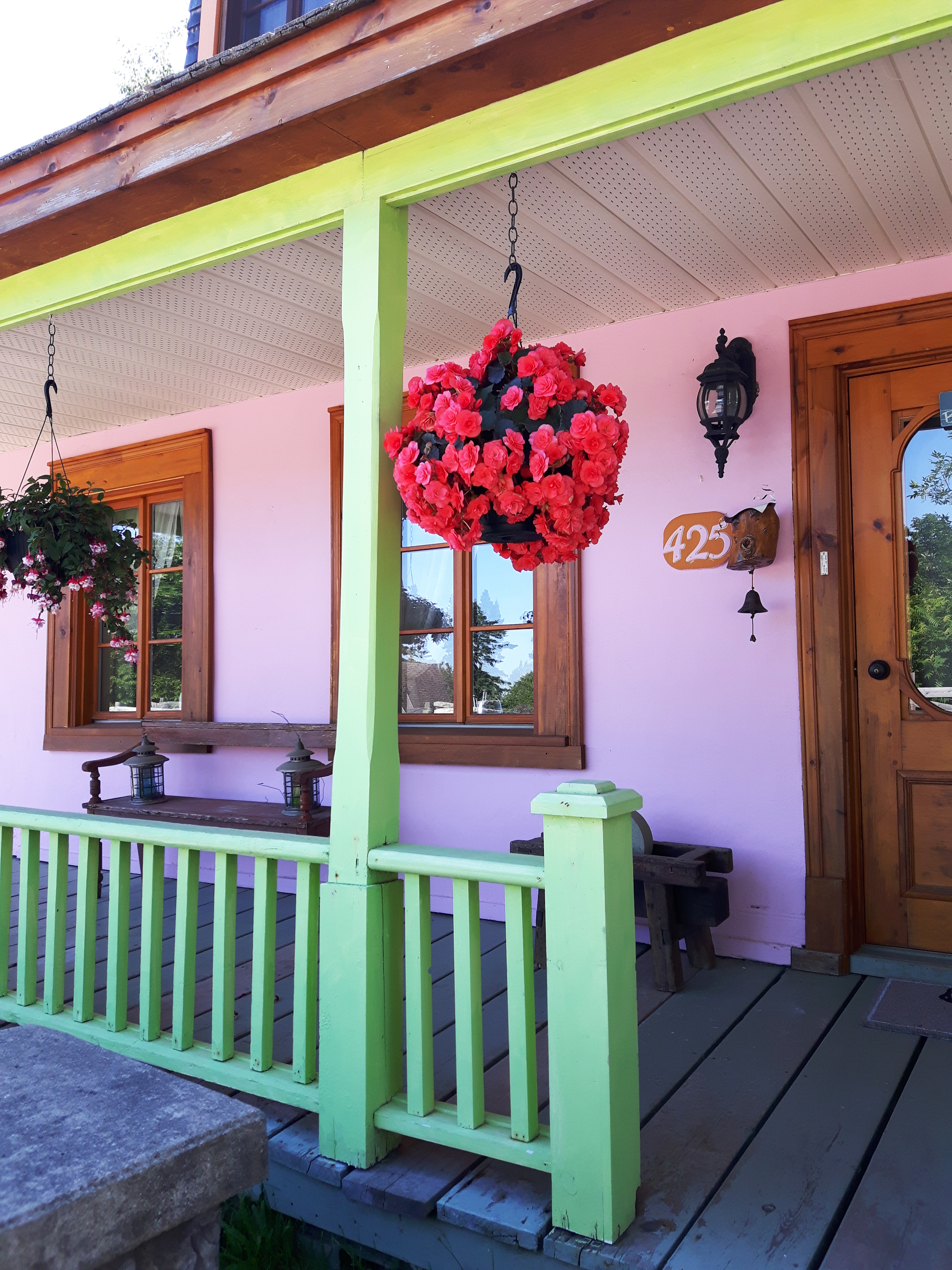
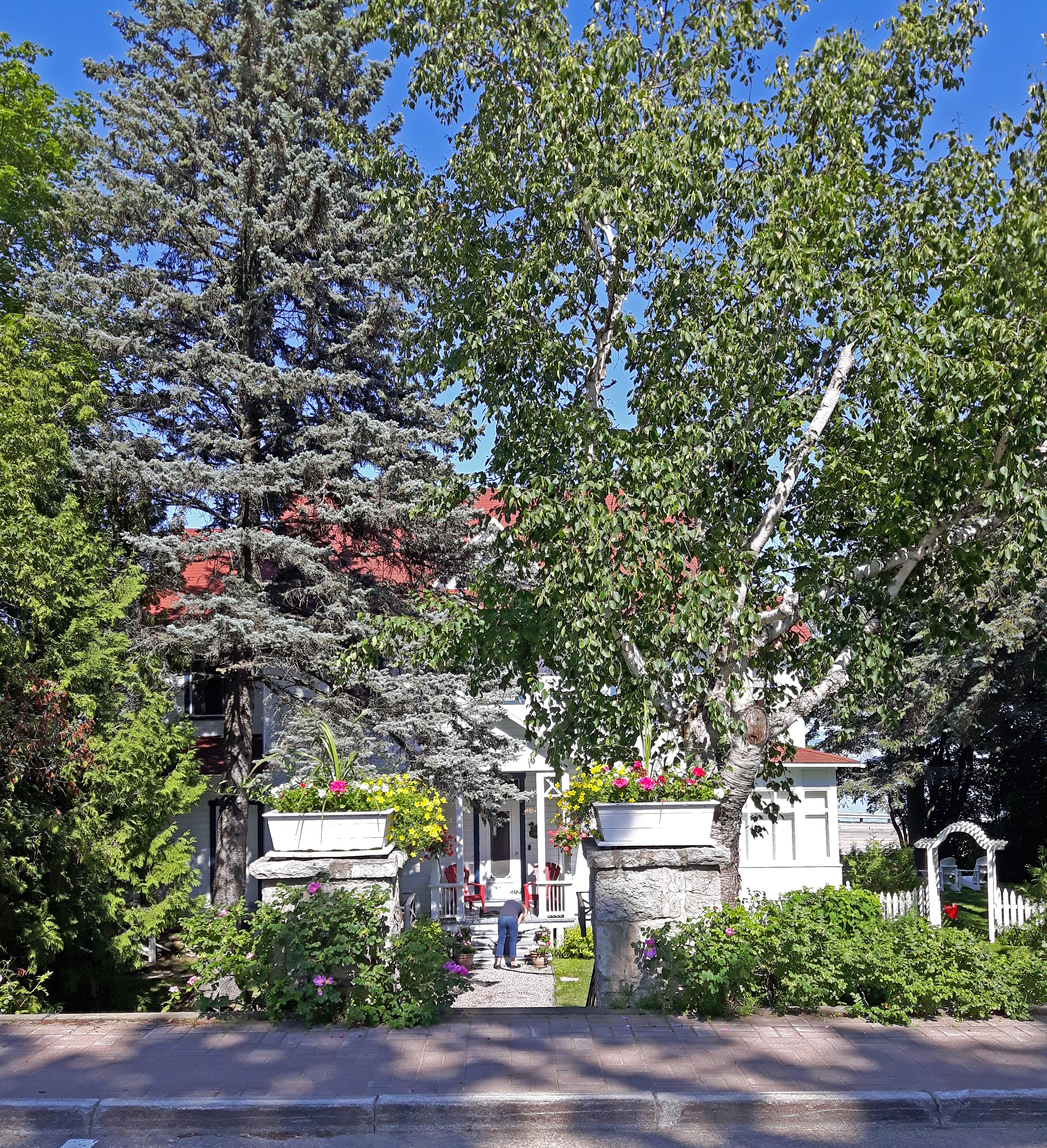
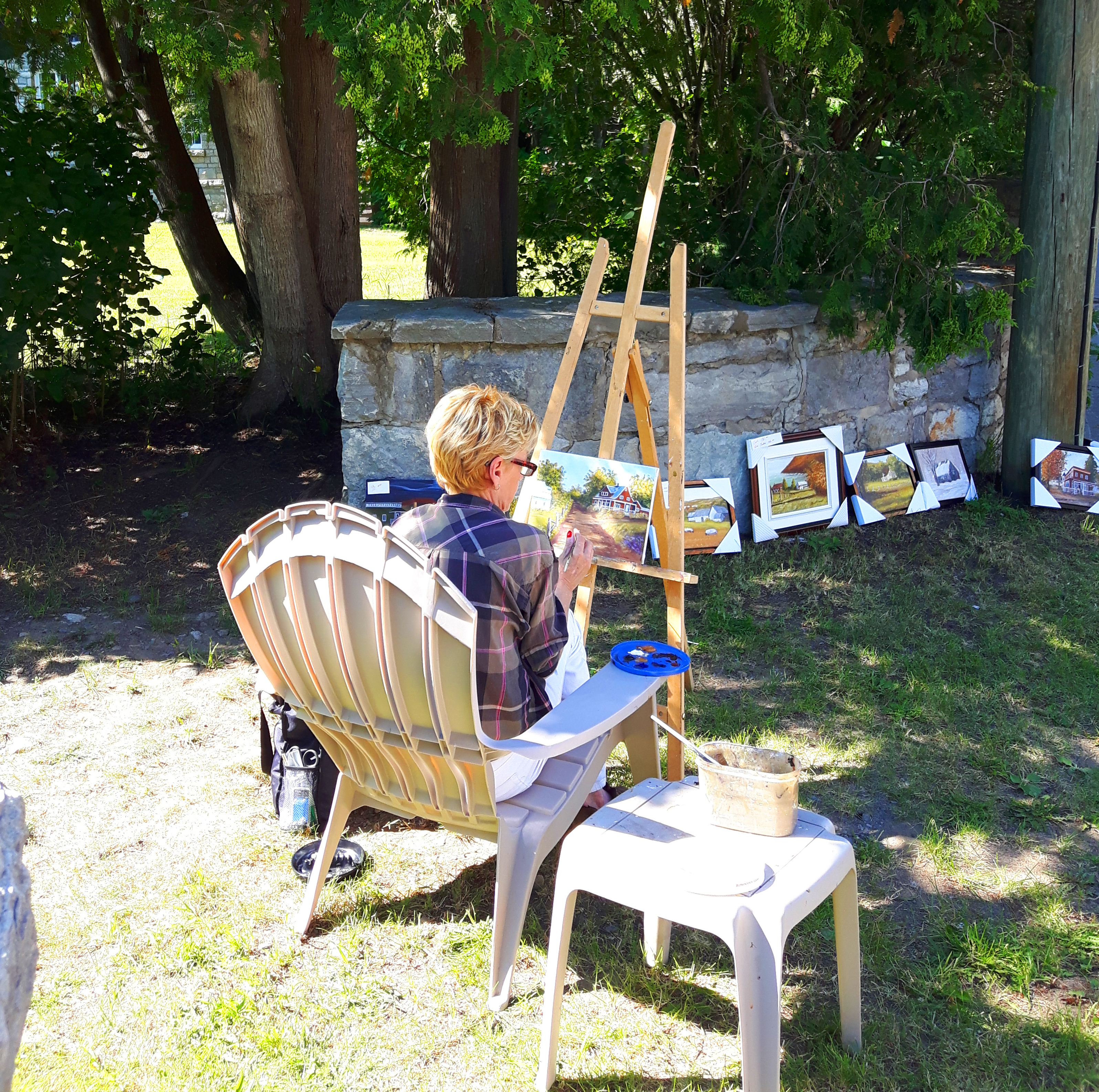
Upon arriving into the sleepy little town of La Malbaie, we immediately felt as though we were transported into another country. We checked into our guesthouse, which was a cozy 19th century country home with vintage interior and a no frills attitude. The grounds were immaculately kept and surrounded by large trees making for a very relaxed setting. Exactly what was needed for a relaxing weekend. The owners were as kind as could be and very attentive. Every morning, a homemade breakfast was served in the main eating area and consisted of crepes, waffles, eggs, fresh fruit, coffee, mini ham & cheese quiches and SO much more. I highly recommended this place. We weren’t even mad about not having a TV for the weekend. The French language takes precedence in this area of small town Quebec, so it does help to understand, or at least learn some basics to get around. As we walked around the town to get our bearings, we came across colourful paneled homes that have been made into inviting guesthouses, or picture perfect restaurants with the most idyllic setting surrounded by emerald green lawns and lovely views of the St. Lawrence River.

The Hike
From La Malbaie, the drive took approximately 45 minutes. The stunning drive down the park’s entrance roadway is something that will make your jaw drop. With winding curves and hills that a roller coaster would be envious of, the drive to the park is definitely one of the highlights of the arrival. To get a full directional map from La Malbaie to Hautes-Gorges-de-la-Rivière-Malbaie National Park , click HERE. Hikers start off by parking their car in the visitor centre’s lot and then paying a small fee of $8.50 CAD to enter the park. This fee also covers your bus ride to the start of the trail within the park. We found out that our Canada 150 Park passes did NOT cover entrance fees to Quebec National Parks, so just a heads up to all you people that snagged the park passes this year!
A big yellow school bus picks hikers and campers up every 15 minutes to get to the trail, as well as their campsites, as Parcs Quebec wants to limit the amount of vehicles and emissions travelling through the area. Makes sense on an environmental standpoint. Once the bus drops you off at the start of the trail, there is only one way up and down the Acropole des Draveurs route, which makes it a very heavily trafficked hike. It’s not crowded by any means, just busier than most trails I’ve been on.
Read more: The good, the bad & the ugly – Climbing Mt. Washington
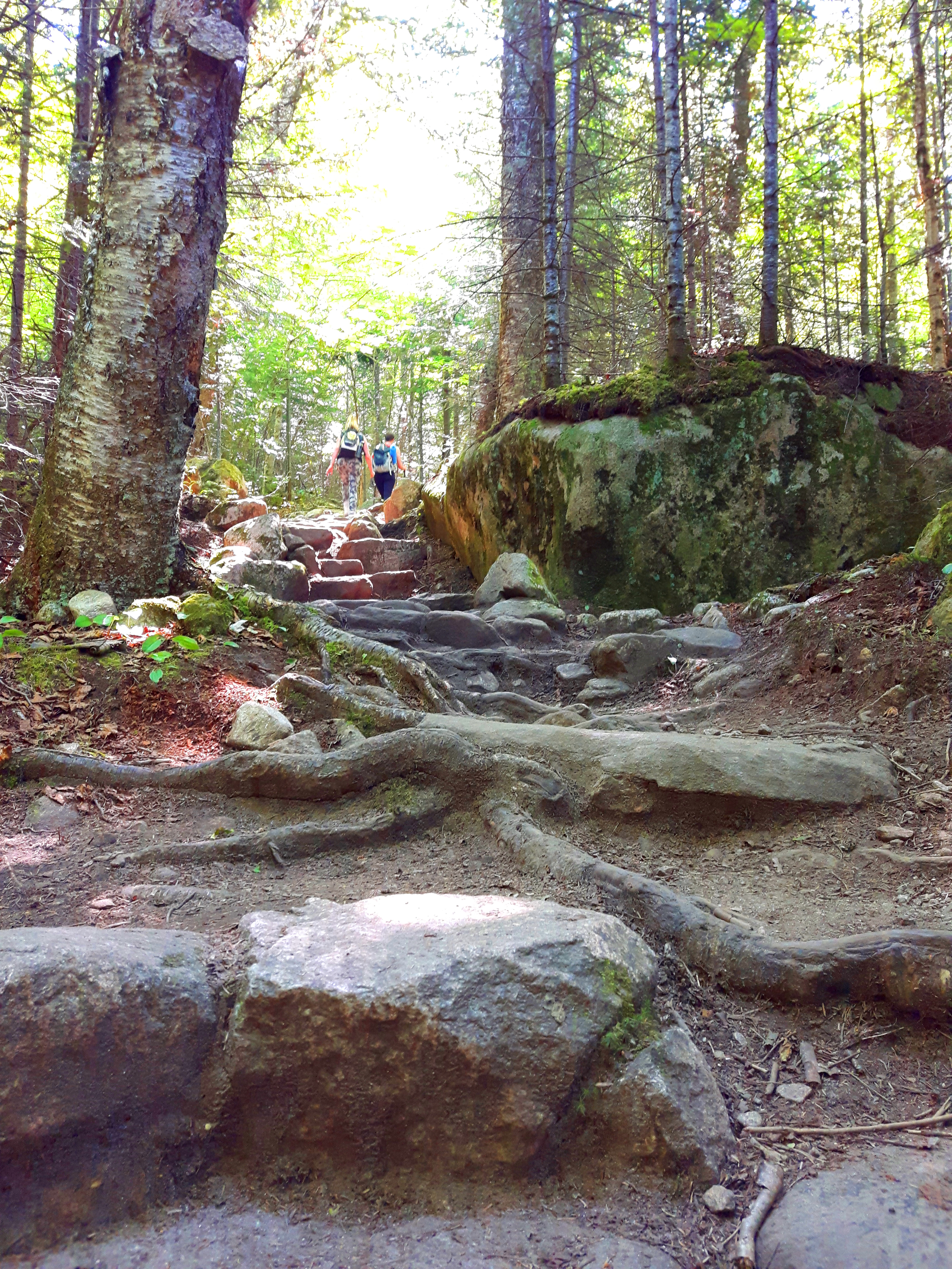
The Acropole des Draveurs trail is by far the most popular for hikers, as well as the most difficult. Remember to eat your Wheaties, guys! Consisting of an 11.2 kilometre round trip hike, the steadily steep and rocky terrain will have you gasping for air in no time with an elevation gain of 800 metres (2600 feet). Even the beginning of the trail will test your limits as you carefully climb your way over massive boulders and large tree roots. Wooden signs marking your distance progress are stationed throughout the hike, reminding you how far you’ve climbed. The first two kilometres are physically demanding as you use large rocks and boulders as a natural StairMaster.
Read more: Conquering The Crack – Hiking in Ontario’s Killarney Provincial Park
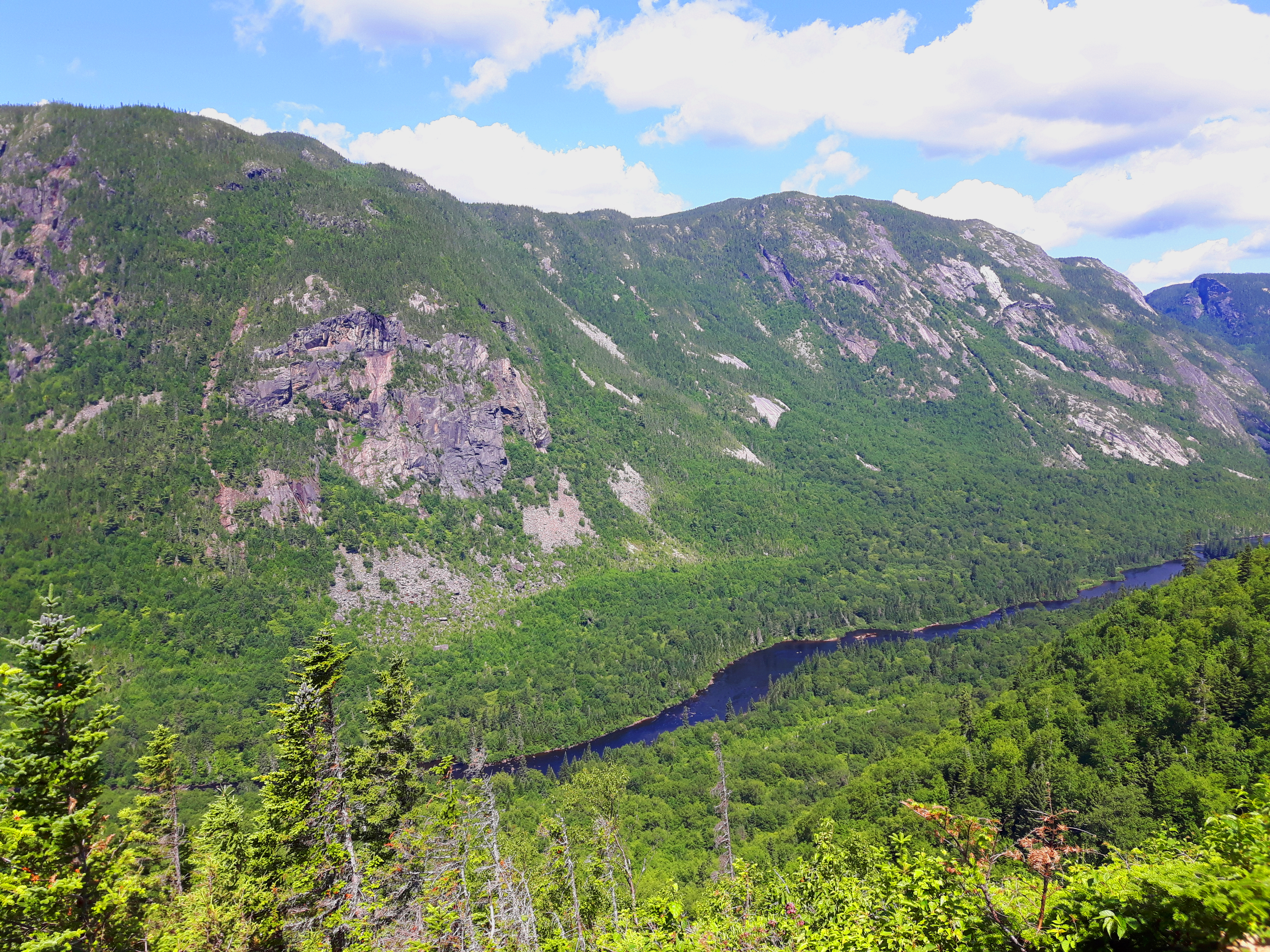
Once you make it to the first kilometre mark, an opening emerges and you are then greeted by a fantastic view of the alpine covered valley for the first time.
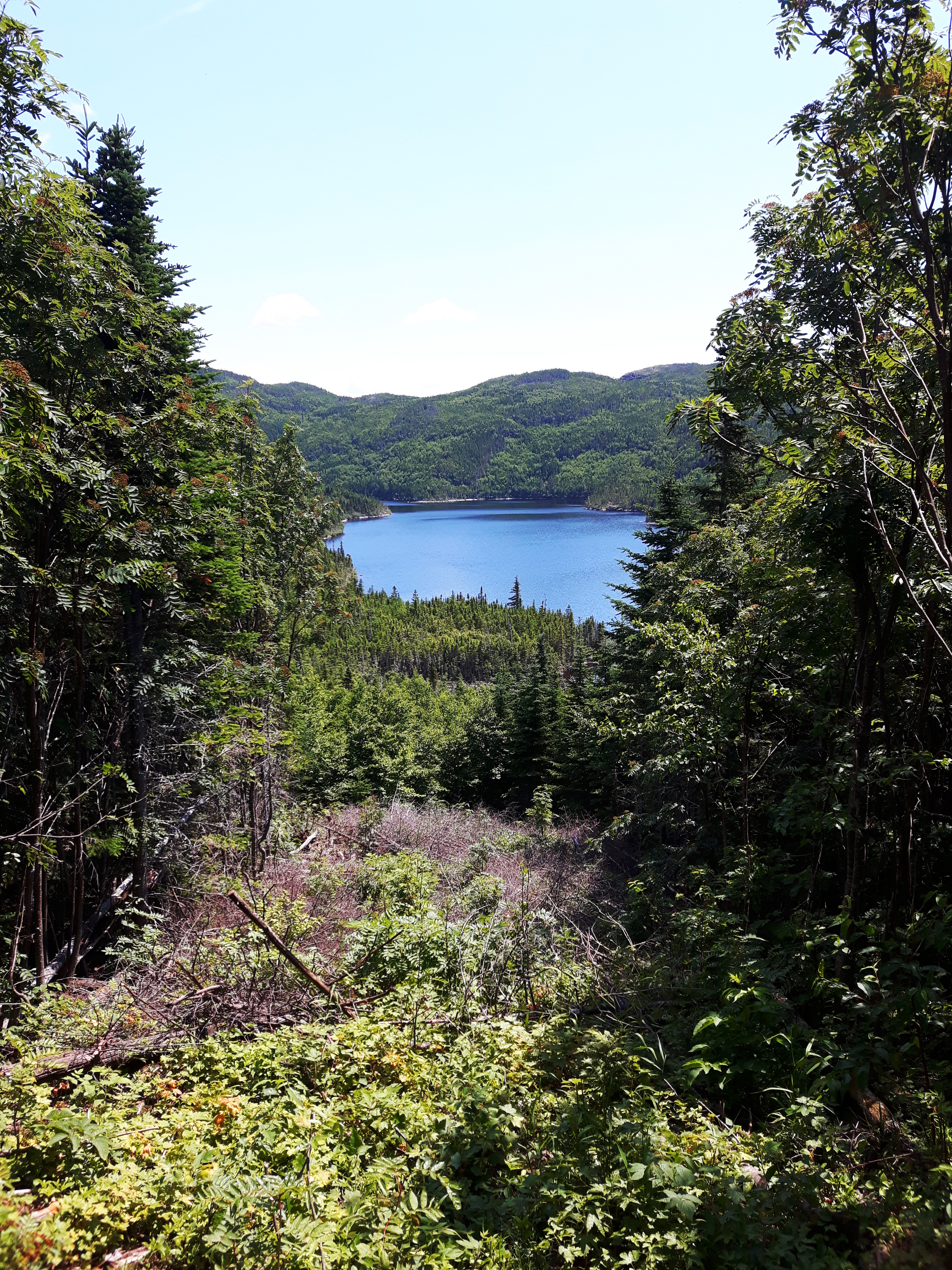
The second kilometre, much like the first, is almost entirely uphill until you reach kilometre three, where the trail evens out for a slight moment. Lac du Pic Chevelu, is a serene lake tucked away behind the alpine forest, which makes for a great pit stop for a snack, some water and of course, some photos. There is also a wooden outhouse that the park staff has placed at the third kilometre mark, so I highly suggest using it if you need to go. Do NOT use the forest as your private toilet, please!

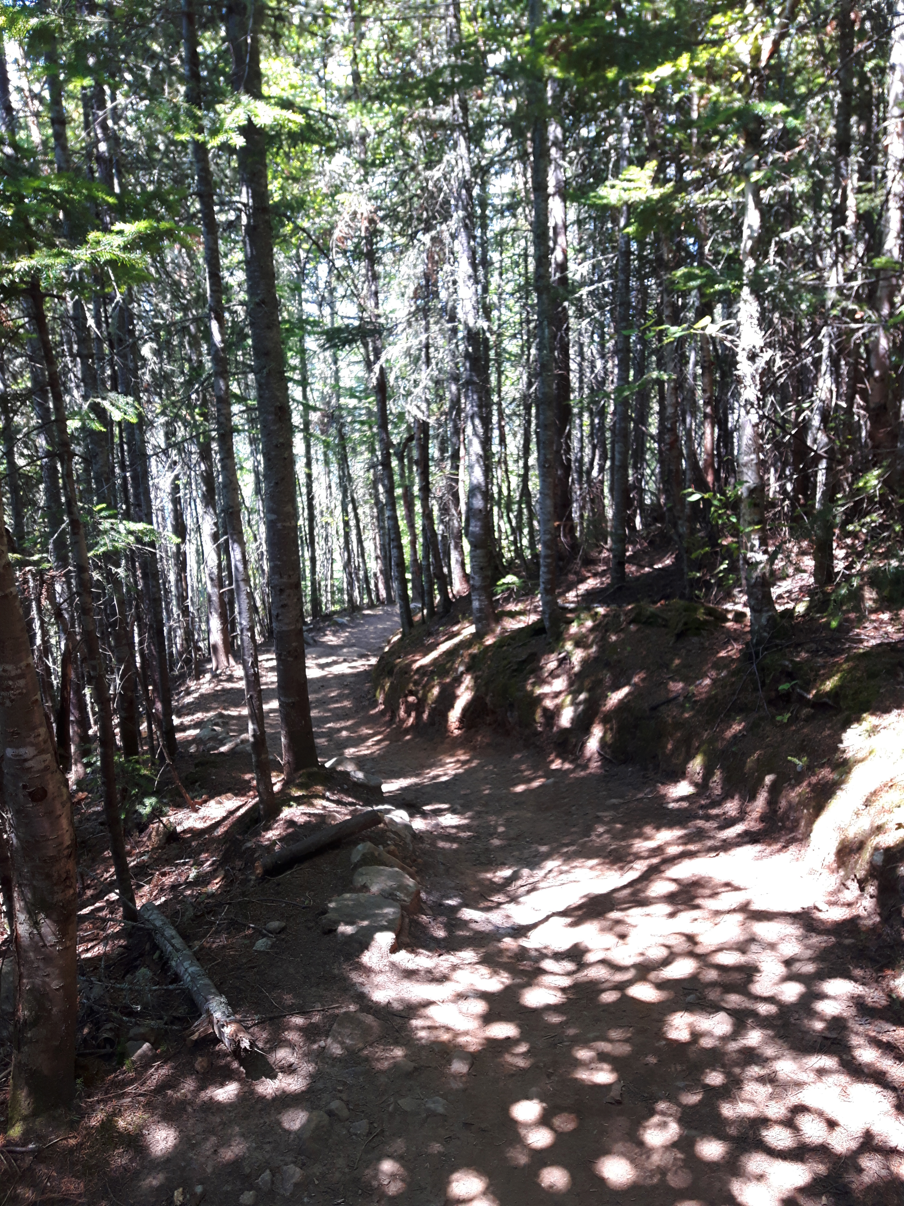
Kilometre four consists of more climbing and vertical scrambling making it one of the most difficult portions of the trail in my opinion. By the time we got to this section, my legs felt like they were pumped and that my quads were about to blow up. There is a downhill portion that consists solely of climbing down a slew of large rocks, which at that point is rough on the knees.
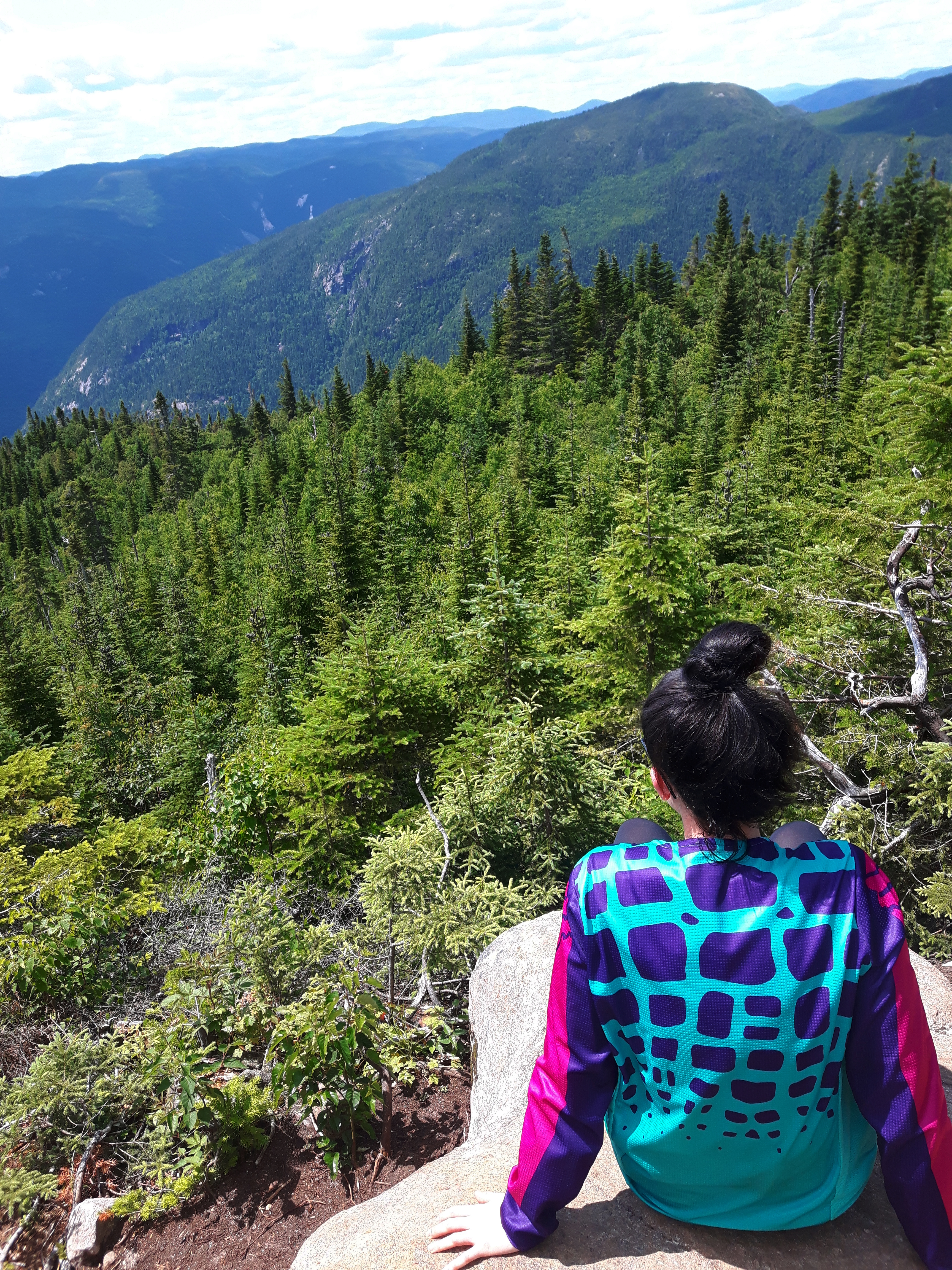
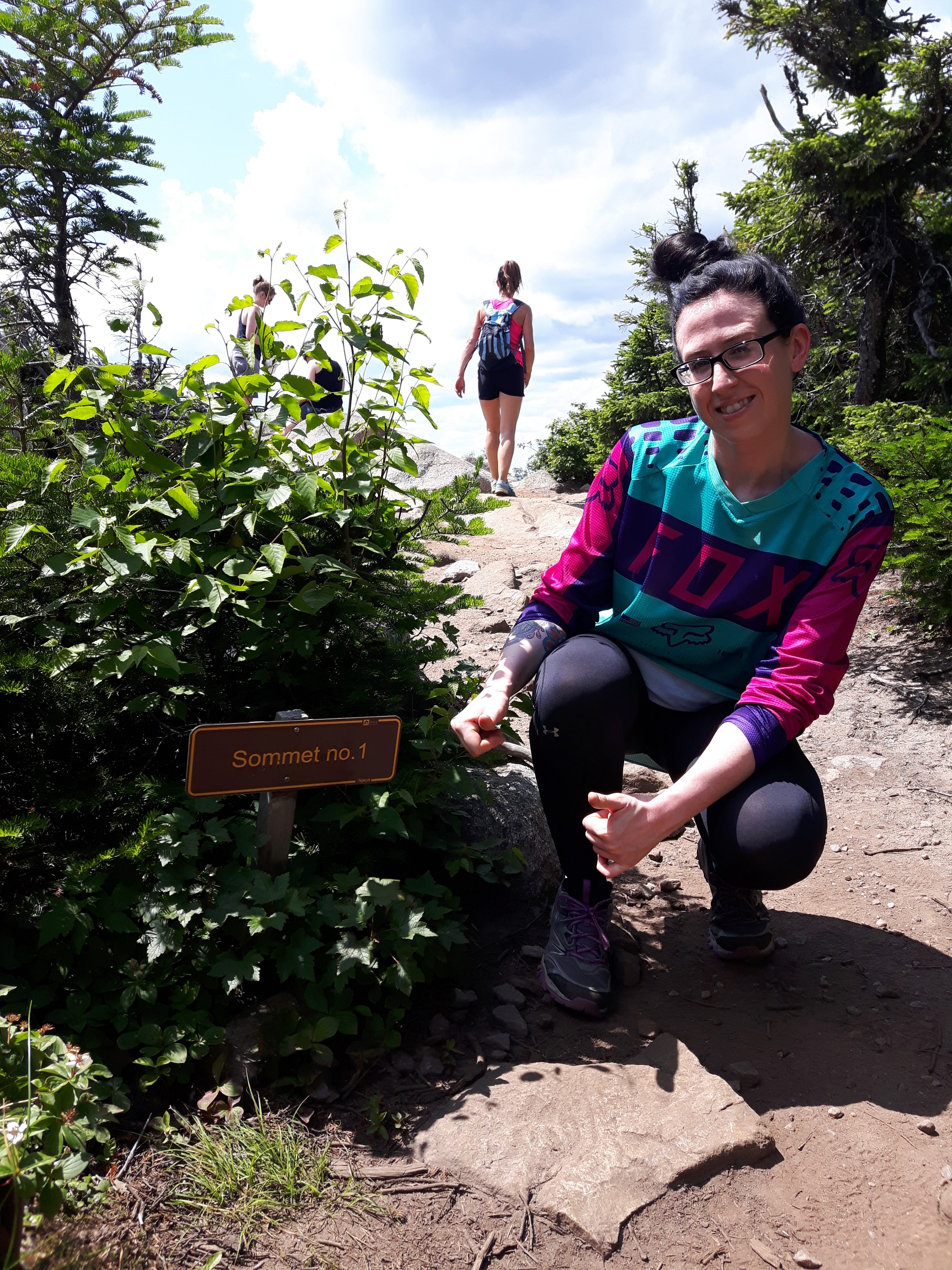
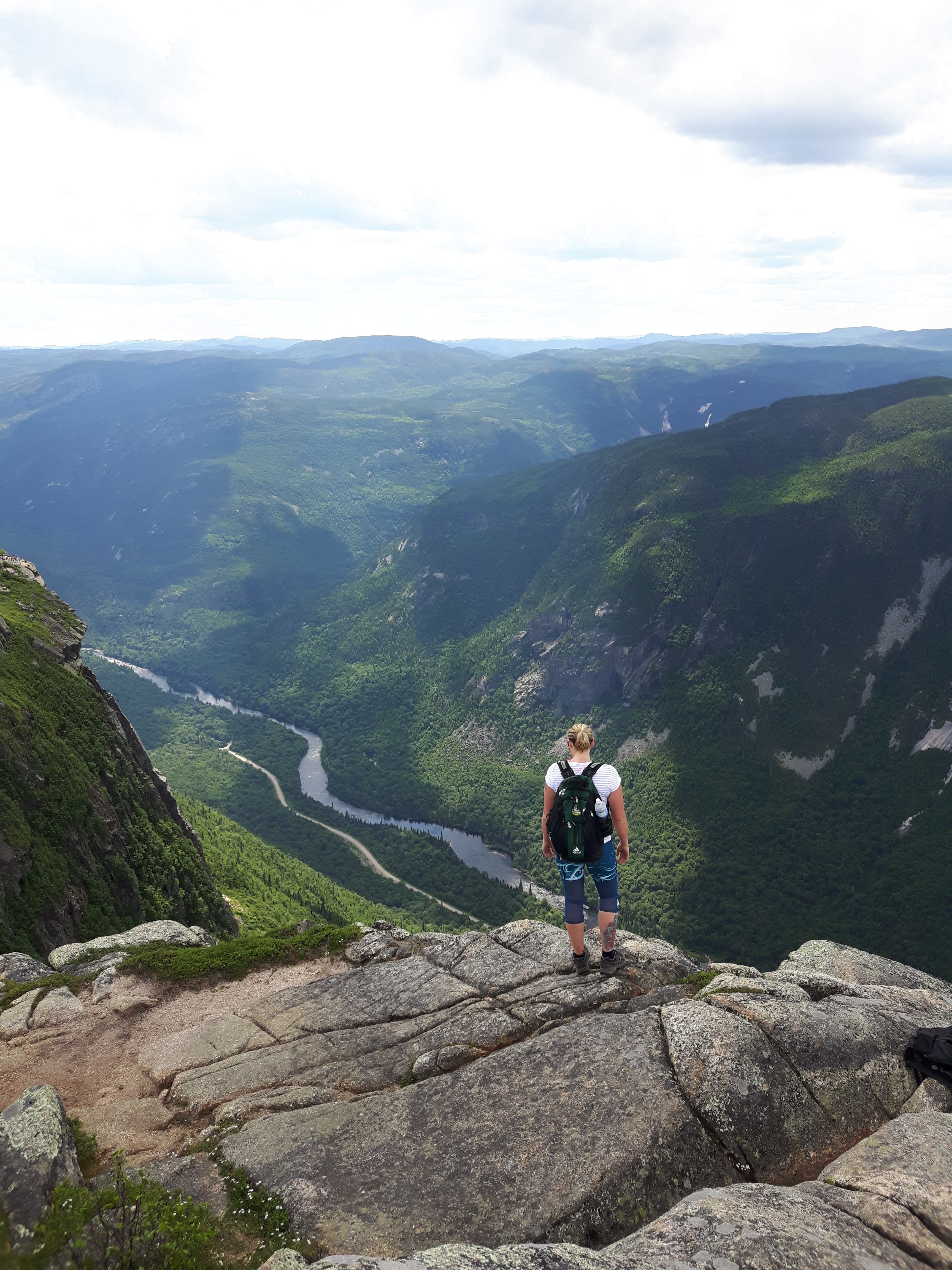
After a tiring fourth kilometre, you’ll come to an opening to finally see a sign that says you’ve reached summit one at kilometre five! SUCCESS! The moment I set my sights on the summit one sign, a sense of accomplishment came over me and as I edged my way through the clearing, I got my first glimpse of the insanely stunning gorge. The Rivière Malbaie looked like a tiny blue vein coursing through the majestic mountain gorge, which towered from the ground below. The mountain tops of the Laurentian Mountains could be seen in the distance for miles with the shadows of the clouds causing darkness in some areas of the range. It was such a spectacular sight to see.
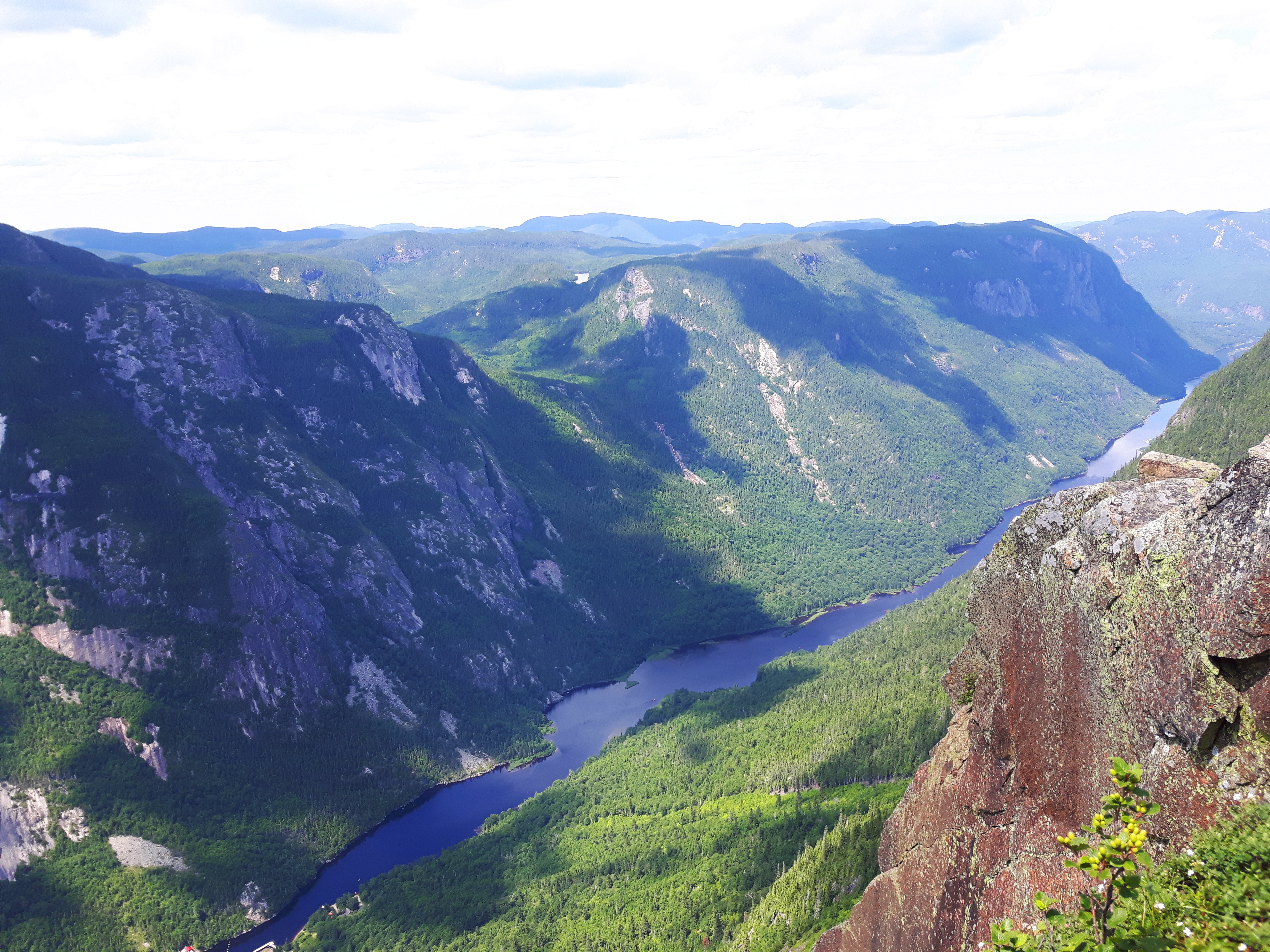
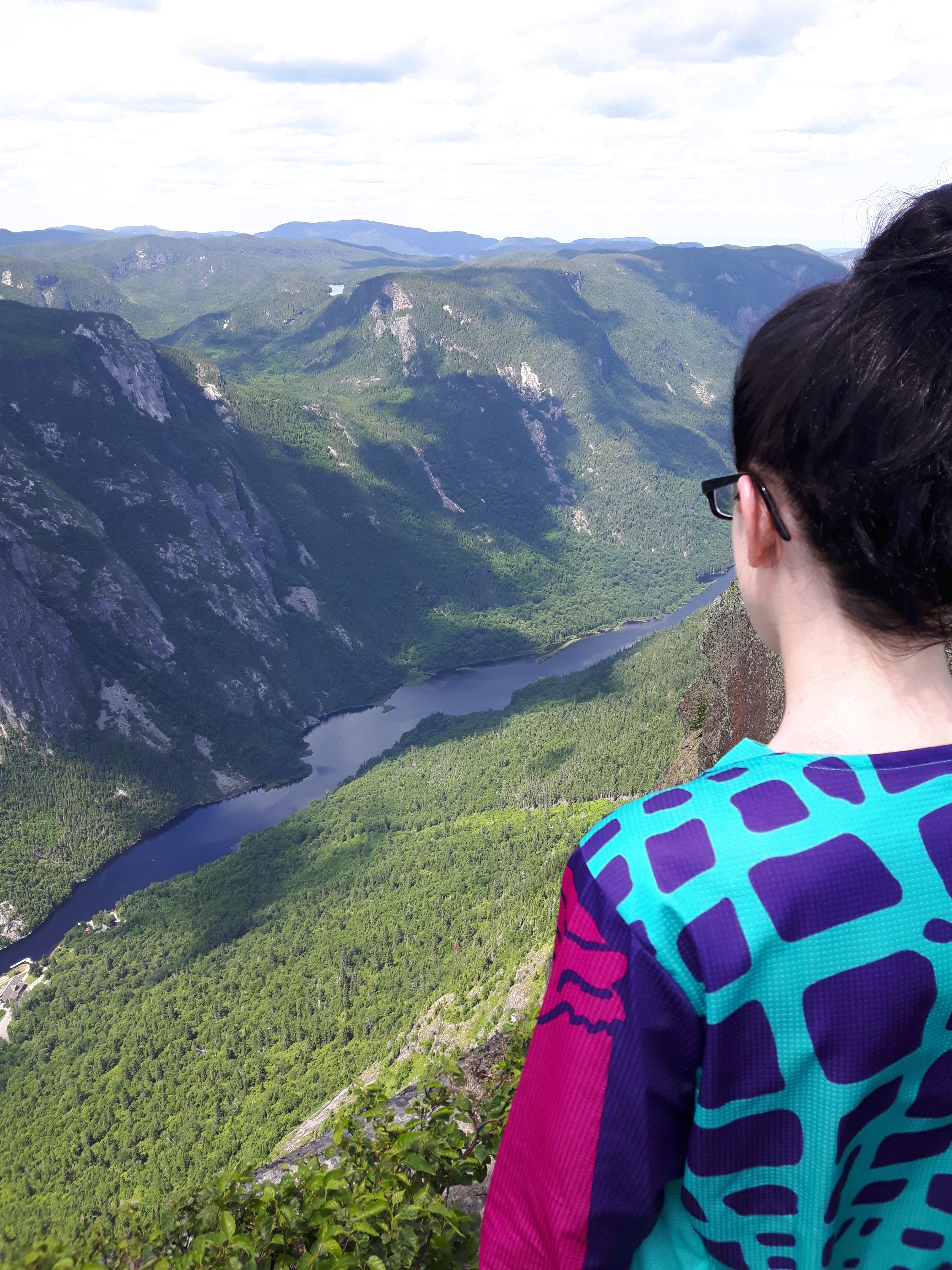
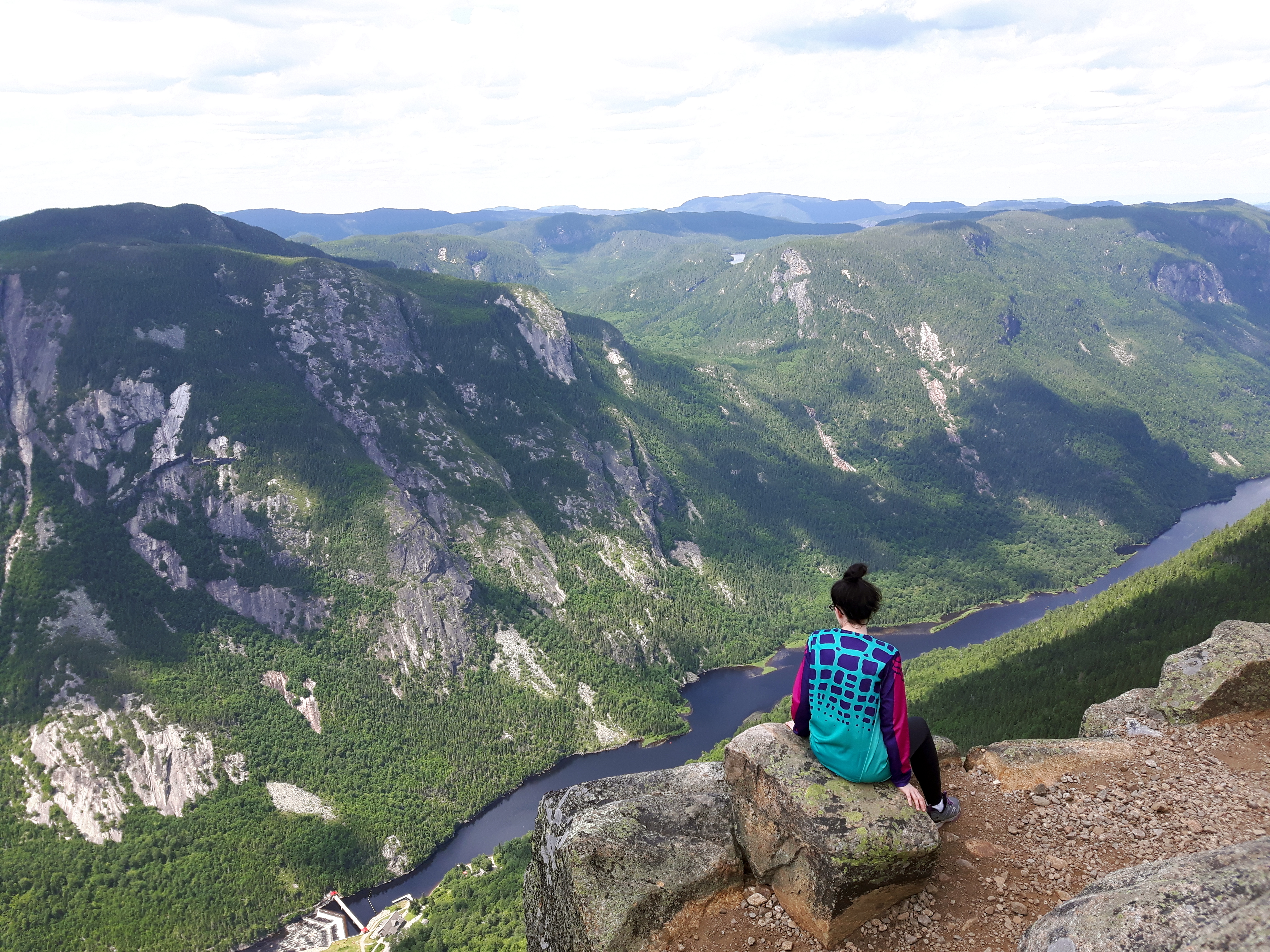
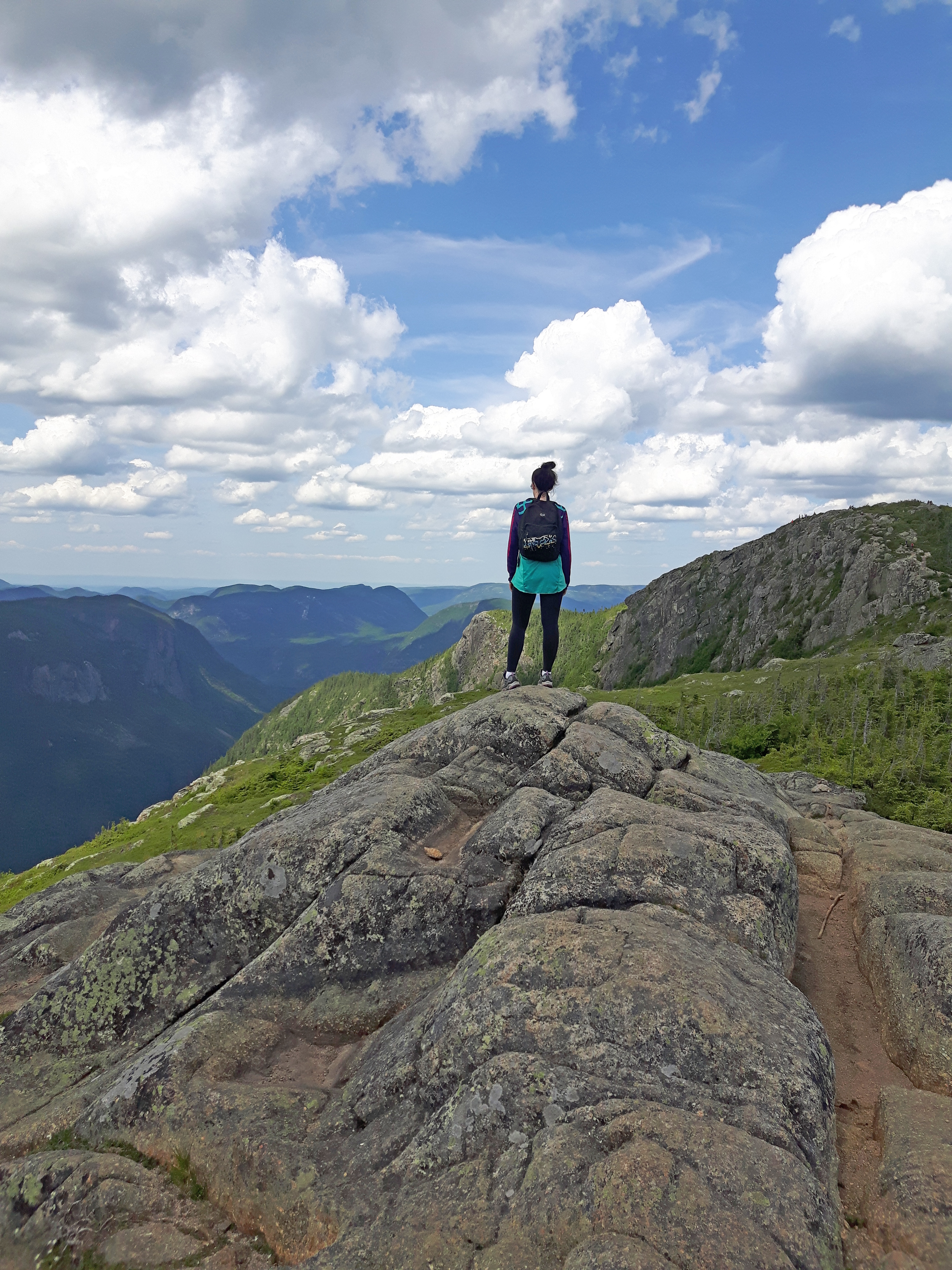
As we made our way to the last summits about half a kilometre away, we continued to scramble our way up steep flat rocks, which was surrounded with lush green arctic floral and fauna that was carefully blocked off so that hikers would not trample it and cause damage. At the highest point of approximately five and a half kilometres, we couldn’t help but be in complete awe of what we saw. The air was surprisingly still and the air was invigoratingly fresh. We threw up our hands as a sign of victory and took in the surroundings for about an hour.

Our work was far from over yet, as now we had to make our way down the mountain, which as many hikers know, is often the hardest part on the body, especially the knees and ankles. As we made our way down carefully watching our footing, each step felt as though our knees were about to give out at any moment. The sheer force of pressure from each step felt worse than going up. Most landings were met with grunts of pain and discomfort, but we managed to finish the descent in two hours flat, which is quite fast, as it took us about four hours to ascend to the summits. The satisfaction of getting back onto flat, solid ground was a feeling I can’t even describe. When we boarded the bus back to the parking lot, it was filled with sweaty, tired and successful hikers that had just done the same trek as we did. Everyone just looked exhausted and the feeling of the wind blowing through the bus through the opened windows was definitely a treat after that long day. After a long seven hour day of hiking, we were ready to head back to the guesthouse, have a much deserved shower and head out for a victory meal and some drinks. The Acropole des Draveurs trail proved its difficulty to us the moment we set foot out on the trail, but I highly recommend doing this hike because the views up on top are entirely worth the effort.
The Charlevoix region is a beautiful place to visit year round and is a mecca for outdoor enthusiasts of any age, or skill. With a vast amount of activities and trails to keep you busy, you’ll never be out of things to do. Whether you want to rent a kayak and paddle your way up the Malbaie River, try your hand at some fishing, or lace up your hiking boots to conquer the summit of Montagne des Érables, you’ll definitely become one with nature as soon as you enter the dazzling beauty of the Hautes-Gorges-de-la-Rivière-Malbaie National Park.

Important Tips For Hiking Hautes-Gorges-de-la-Rivière-Malbaie National Park
- Wear shoes or boots that support your ankles. Irregular walking surfaces are everywhere.
- Make sure you are in good physical condition. When in doubt, let your doc check you out.
- Bring at least two litres of water, as this trail does not have any drinkable water source available.
- Bring snacks packed with protein and carbs for energy. You burn calories fast as you climb.
- Bring a basic first aid kit. You never know if you’ll take a tumble and cut yourself.
- Wear breathable layers. It may be hot at the bottom, but temps may drop up top. Be prepared.
- Use walking sticks if you have them. They will alleviate pressure on your knees, especially on the descent.
- Bring a light source such as a small flashlight or headlamp in case you get stuck past sunset.
Tell me what your favourite hikes are! Have any of you ever hiked the Acropole des Draveurs trail, or visited Hautes-Gorges-de-la-Rivière-Malbaie National Park? If so, what other activities and hikes did you do while you were there? Did you visit for the day like we did, or camp overnight? Let me know in the comments below. xo

Absolutely superb read Tosh!! I love USA’s national parks! They are so stunning!
Thanks Andy!! This National Park is actually located in Quebec, which is a province within Canada. The States does have some great hikes though, no doubt!! 🙂 🙂
What was the name of the place you stayed in at la Malbaie? Looks amazing
Hi Naomi. The place I stayed at in Malbaie is called Auberge Les Sources. It’s such a great place. The rooms are comfortable, the staff is amazing and the breakfast is out of this world. So Good!! Are you heading to that region to do some hiking? If so, I highly recommend it. Beautiful!!